
The work flow on this chart kind of bothers me. The Level of Service (LOS) analysis happens before the analysis for Complete Streets!? Level of service is a measurement of how long cars have to wait to get through an intersection....an ancient standard that takes only vehicle traffic into account. This diagram suggests that Complete Streets analysis can only take place if the LOS is currently acceptable. However, the modern logic is if we had a complete street that serviced alternate travel modes better...then there would be less vehicle traffic and the LOS would improve! See the problem!?
 |
| Not the busiest meeting, but still well attended. |
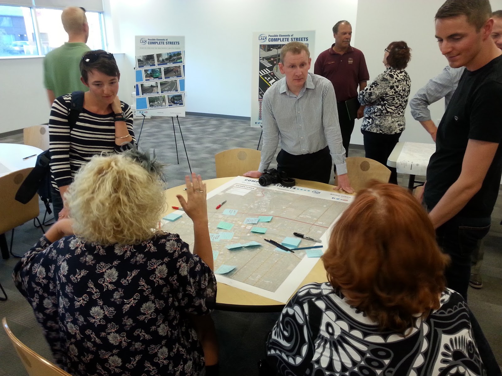
Interestingly, our favorite Junkie owner was in attendance (and yes, I do genuinely like her on a personal level) and stayed at the table with the Midtown map. One of my friends joked that she was guarding it.... However, when another cyclist added some comments, she and Jessica began to talk. Since we're currently looking at only Sharrows through midtown, the topic of what speed limit the region will get is still up in the air. To my pleasant surprise, Jessica is pushing for the lowest option on the table (15mph)! This is great news because I suspect that RTC and City Council aren't really planning for it to be that slow. Perhaps if Great Streets Coalition plays it's cards right and gets the other business owners to realize the slower limit will allow people to "find" their stores and use all that on street parking, we might just get it pushed through.
Anyway, that was the first meeting. So far so good. Hopefully, RTC and City Council members truly have the vision to build out a complete set of complete streets in our city!

