 |
| The "Bike Route" appears to terminate about 50 ft after the sign! |
Of course, I've ridden Mill St. (a designated Bike Route) more times than I can count and I know that there are definitely sections without designated bike lanes. Moreover, it's not even a low traffic road that is conducive to cycling for most people. So why is it a posted "Bike Route" (especially since the river path parallels this option)?
 |
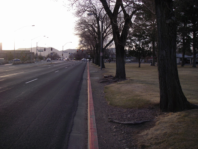
| No "Bike Route" here....but hey at least if you get hit your right across from the Hospital! |
 |
| Kind of a "Bike Route / Lane", but really it's for parking cars.... What a great use of a public street! |
 |
| If you hang in there long enough a Bike Lane magically reappears! |
I've come to the conclusion the a "Bike Route" must just be a prescribed route that gets you from point A to point B as directly as possible. Especially since for my particular destination you could pick up the river path with a 1/2 block detour back in downtown Reno and get to the same location on the other side of town without risking your life for 4 miles!
Now it is 1 mile longer in terms of the length of the ride, but the lower stress level and safety make it a no brainer for most folks. My biggest concern is if you didn't know the area, you'd never know the river path was there as an option (no posted signs) and the "Bike Route" designation that originally heads out from downtown Reno would lead you to believe you were taking the best option!
Fortunately, this route is under study for improvements (see the Mill/Terminal corridor study) and we may have a really nice route to ride on this stretch in the next few years. If we're lucky, we might even be able to ride to the Airport without traffic trauma! Until then be wary of the route and do a little homework before you head out the door for a ride in an unknown area!
No comments:
Post a Comment